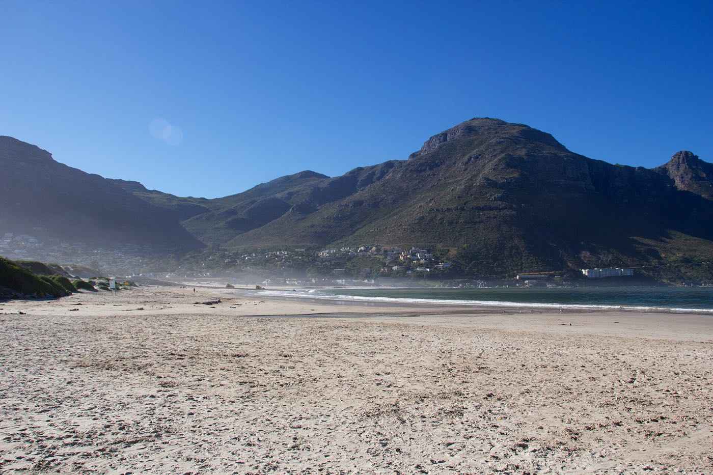
Hout Bay Beach
A long, flat crescent of white sand with the Sentinel at one end and Chapman's Peak at the other. The valley's living room.
beach
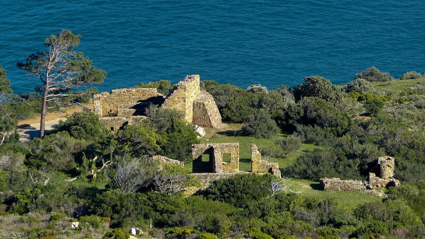
Photo: Eastfort1 · CC BY-SA 3.0 · Resized and recompressed.
Eighteenth-century Dutch gun battery on the Chapman's Peak side, with cannons still pointing at the bay.
East Fort was built by the Dutch in the 1780s to cover the anchorage. The battery, magazine and some of the cannon survive, set into the slope just off Chapman's Peak Drive.
It is a ten-minute walk up from the parking area and mostly ruins, but the position explains itself immediately — you are looking down the barrel at anything entering the bay.
Free, unfenced, and usually empty. Good at the end of the day. Continue up the jeep track behind it for a longer walk with better views.
Within a few minutes of here.
A long, flat crescent of white sand with the Sentinel at one end and Chapman's Peak at the other. The valley's living room.
Guided rides along Hout Bay Beach and into the dunes, run by local stables in the valley.
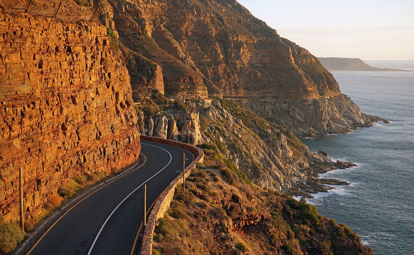
Nine kilometres of road carved into the cliff between Hout Bay and Noordhoek. One of the great coastal drives anywhere.