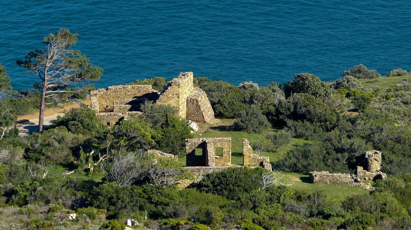
East Fort
Eighteenth-century Dutch gun battery on the Chapman's Peak side, with cannons still pointing at the bay.
heritage
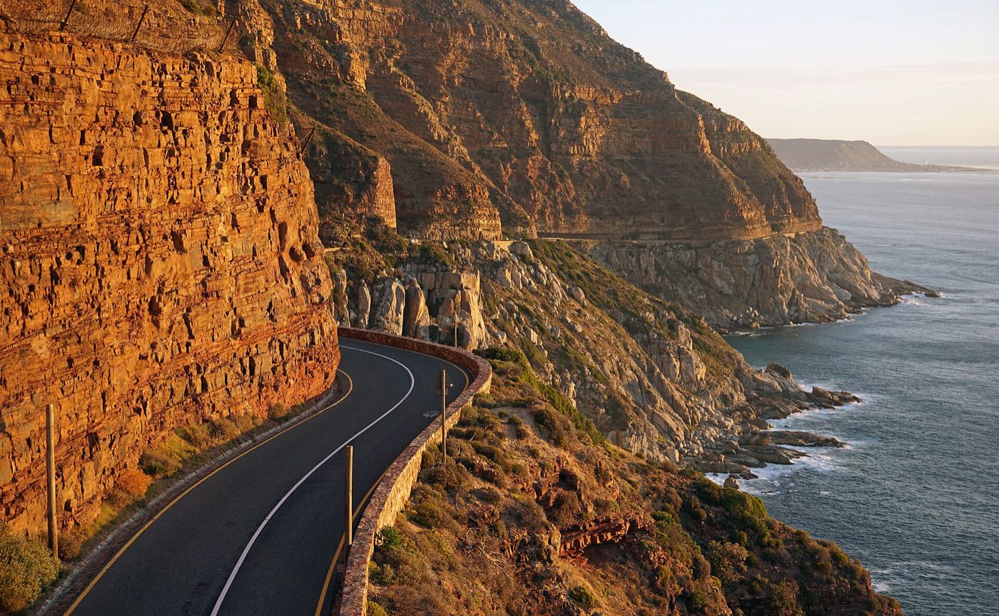
Photo: kallerna · CC BY-SA 4.0 · Resized and recompressed.
Nine kilometres of road carved into the cliff between Hout Bay and Noordhoek. One of the great coastal drives anywhere.
The road hugs the seaward face of Chapman's Peak, 114 bends between Hout Bay and Noordhoek, much of it cut directly into the rock with the Atlantic straight down on your right.
Do it late afternoon heading south, so the light is behind you and the sea is silver. Stop at the picnic sites — they are not an afterthought, they are the point. The lookout just past the toll plaza gives you the whole sweep of Hout Bay with the Sentinel standing over the harbour.
It is a toll road, and it closes in high winds, heavy rain and after rockfalls. Check before you commit to it, especially in winter.
Within a few minutes of here.
Eighteenth-century Dutch gun battery on the Chapman's Peak side, with cannons still pointing at the bay.
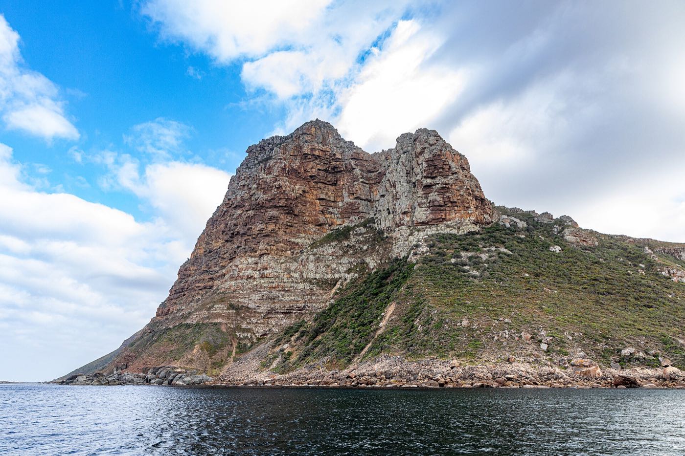
The blunt peak guarding the harbour mouth. A short, steep, exposed climb for a view straight down onto the bay.
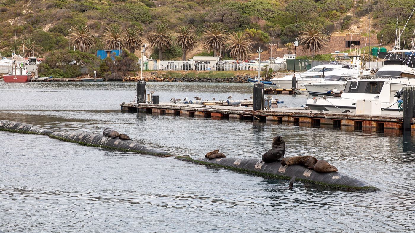
A working fishing harbour, not a marina. Trawlers, seals on the slipway, and fish and chips eaten off paper.