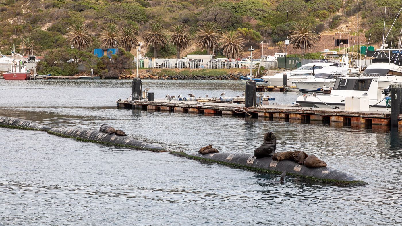
Hout Bay Harbour
A working fishing harbour, not a marina. Trawlers, seals on the slipway, and fish and chips eaten off paper.
heritage
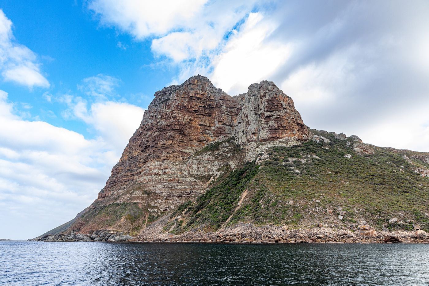
Photo: Dietmar Rabich · CC BY-SA 4.0 · Resized and recompressed.
The blunt peak guarding the harbour mouth. A short, steep, exposed climb for a view straight down onto the bay.
The Sentinel is the 331-metre headland on the western side of the harbour mouth — the shape that makes Hout Bay recognisable from a postcard.
The route starts above Hangberg and goes up hard. It is not long, but it is steep, loose in places, and genuinely exposed near the top. This is not a stroll; wear proper shoes, take water, and turn around if the wind is up.
The reward is the entire bay laid out beneath you, the harbour directly below, and Chapman's Peak curling away to the south.
Do not go alone, and ask locally about current conditions before you set off.
Within a few minutes of here.
A working fishing harbour, not a marina. Trawlers, seals on the slipway, and fish and chips eaten off paper.
A weekend market in a converted fish factory by the harbour. Food, makers, live music, and most of the valley.
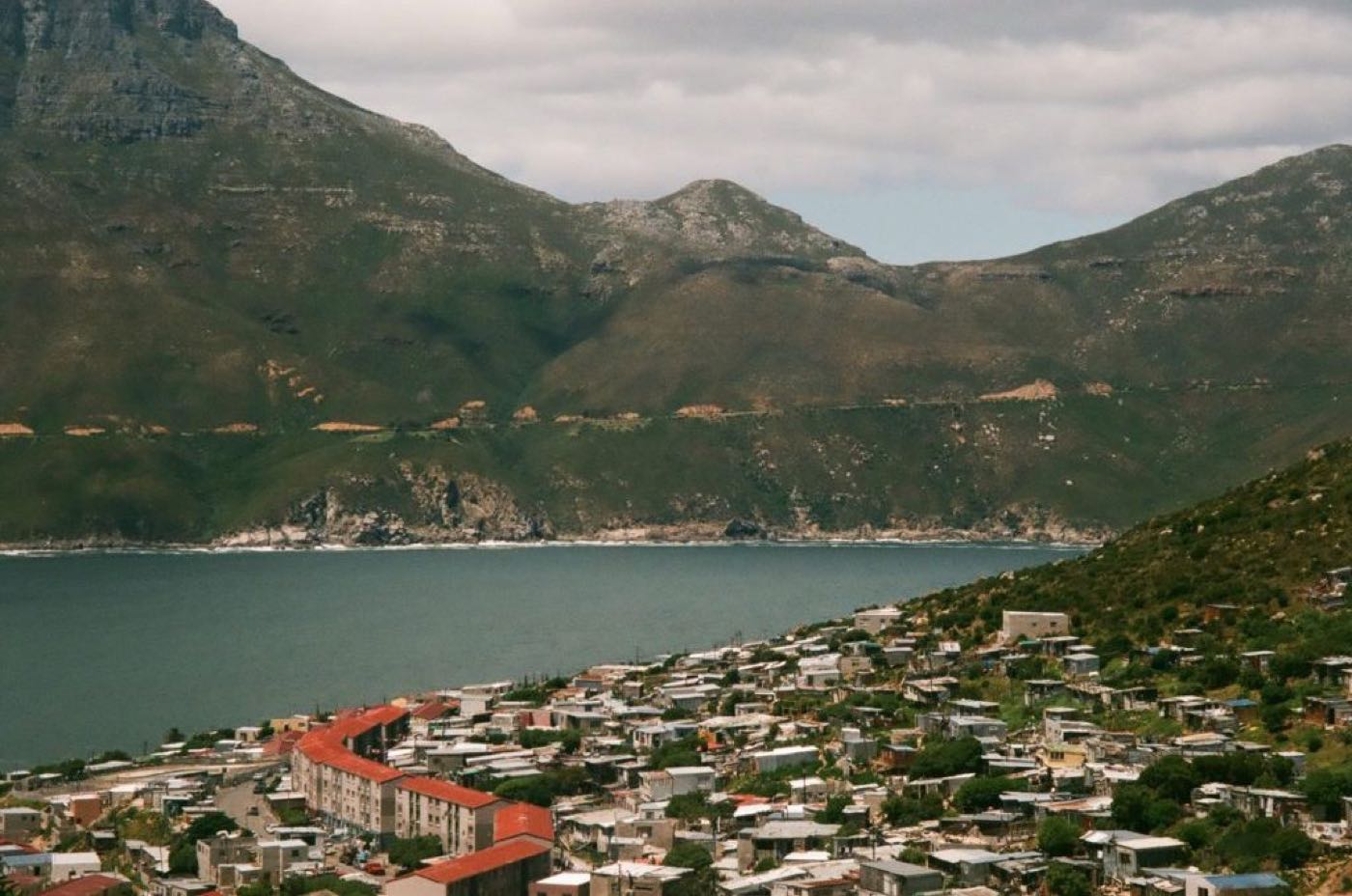
A long, serious mountain traverse above Hangberg towards Llandudno. Big country, big consequences.